Topographic Survey
Topographic surveys are widely used around the world for a variety of reasons. The three main categories their use can be classified into include development, planning and land use. The survey is used by architects and engineers to create accurate and appropriate designs based on existing conditions. The resulting information can be used in a wide range of applications including, but not limited to:

- Site plans and layouts for construction.
- Property boundaries and subdivisions.
- Estate planning.
- Site Management Plans (SMP), forestry or agricultural purposes.
Depending on the requirements of a project, the surveyed elements will vary.
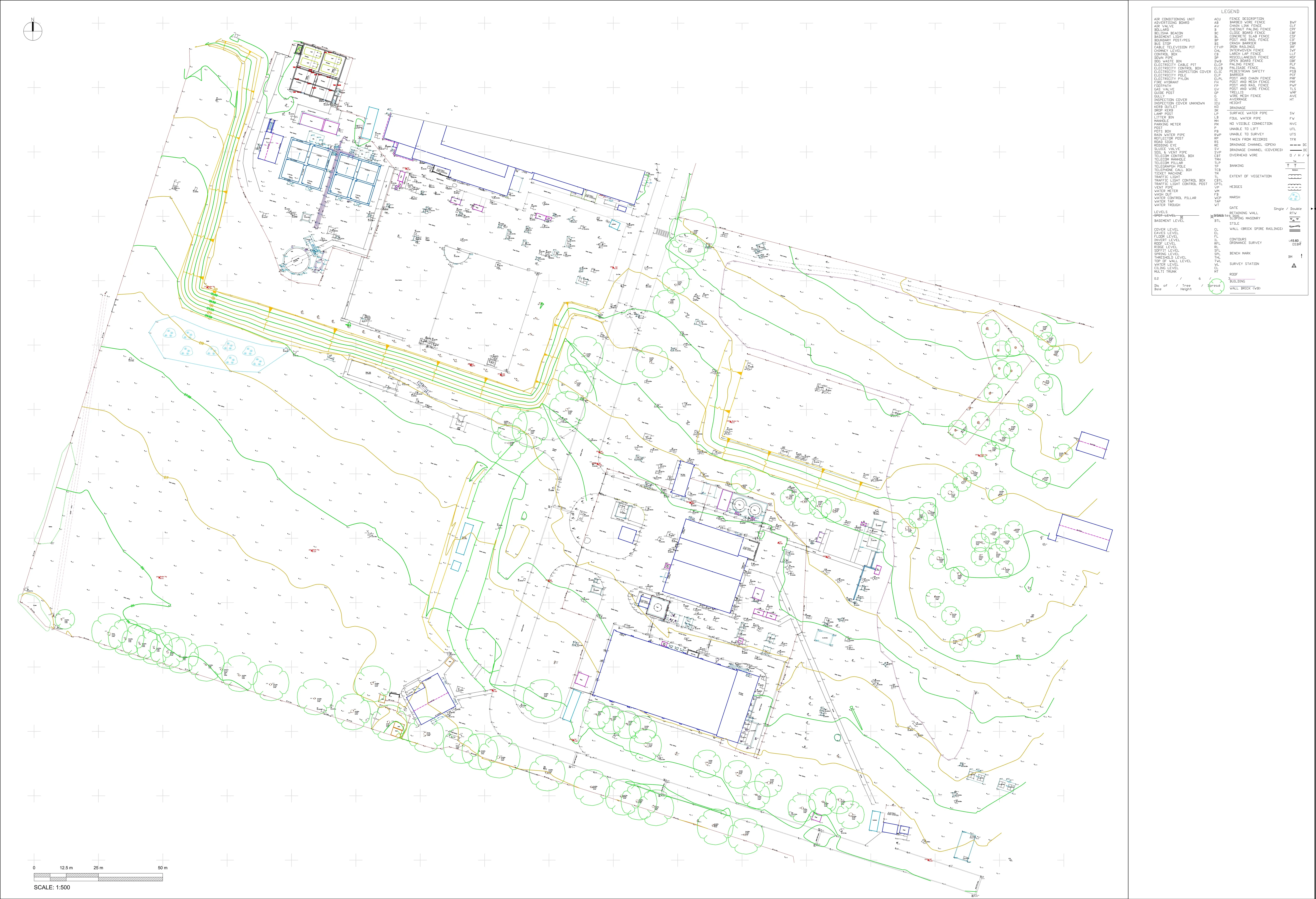
Typical elements include the following:
- Area boundary lines
- Buildings & structures
- Features adjacent to the site
- Trees, bushes & vegetation positions
- Ground heights, contours & surfaces
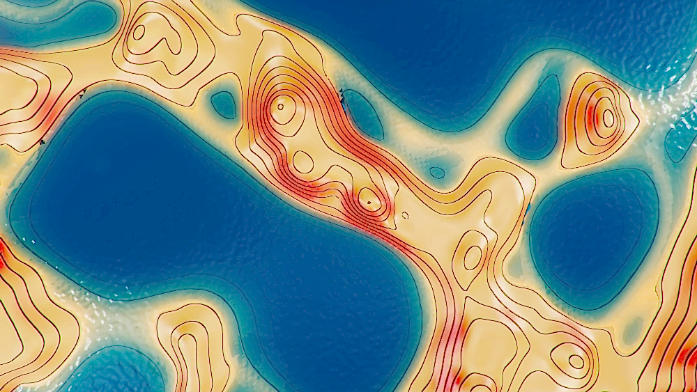
Measurements for topographic surveys are done either with a surveying-quality GPS unit, or with an electronic EDM instrument. The results of the topographic survey are presented as contour lines on a site map, and can be enhanced by computer software to provide interactive views. Partners network of surveyors and CAD specialists are able to input this data to model how the topography may change through planned improvements. The duration of a Topographical survey is dependent on the size and complexity of the proposed site and project. After the site has been surveyed, it typically takes a few days for findings to be drawn up and sent over. Depending on the detail required for a project, data will be presented in either a simple 2D plan, or a 3D AutoCAD drawing, when a greater level of detail is needed. Conducting a topographic survey gathers data that can reduce the risk of costly mistakes down the line, potentially including minimising the risk of damage or injury to people, property and equipment.

Contact
10 Teesdale Court
info@geo1.co.uk
+447838005008