Measure Building Survey
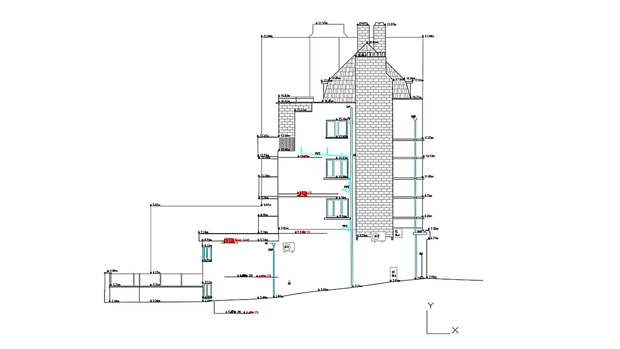
A measured building survey is an accurate representation of your building and can consist of floor plans, internal sections and elevations. Detailed plans provide an accurate internal representation of the building whereas elevations can be vital in planning and when considering modifications to building envelopes.
Total station Leica TS16
The total station combines an EDM (electronic distance measurement), with a theodolite and a microprocessor which is capable of storing data. It is used in topographic surveys, setting out and elevation surveys. As it can read slope distances, it is also used in surveying quarries and mines.
3D Laser Scanning
3D laser scanning can capture, visualise and pre-register data in the field, which can then be processed in the office to deliver conventional 2D models and 3D digital twins, 3D laser scanning, can document any structure or environment safer, faster and more efficiently. From the detailed data we can produce all specific enquiry needed. We usually work for Architects looking to get accurate drawings such as floor plans, sections, and elevations.
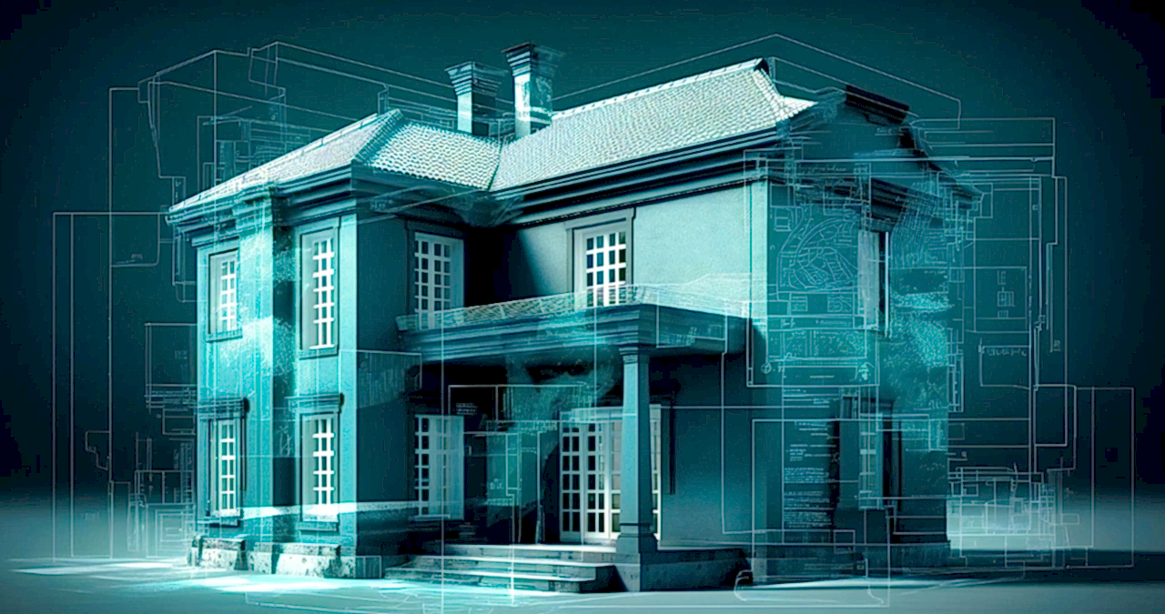
BIM Models
The 3D capture model is accomplished by the use of a technique known as LiDAR (Laser Imaging Detection and Ranging), which allows us to capture millions of 3D point clouds in a very short period of time. These points are analysed and altered by computer softwares, allowing us to create 3D Surfaces, 3D Models, DTM, DSM, and a very realistic BIM model.
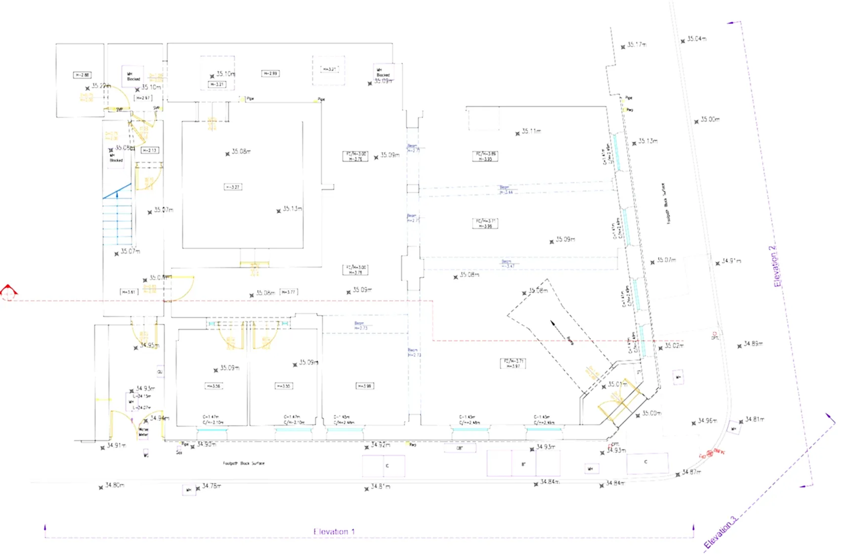
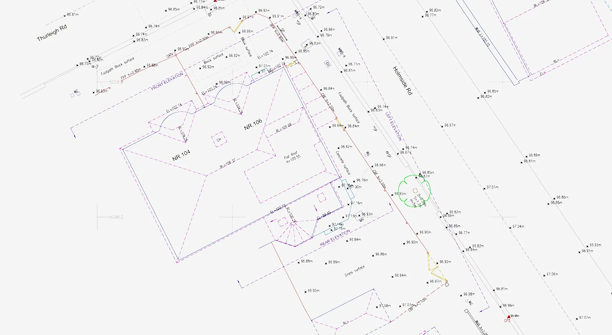
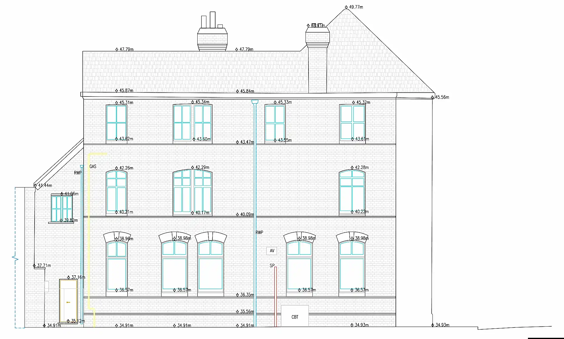
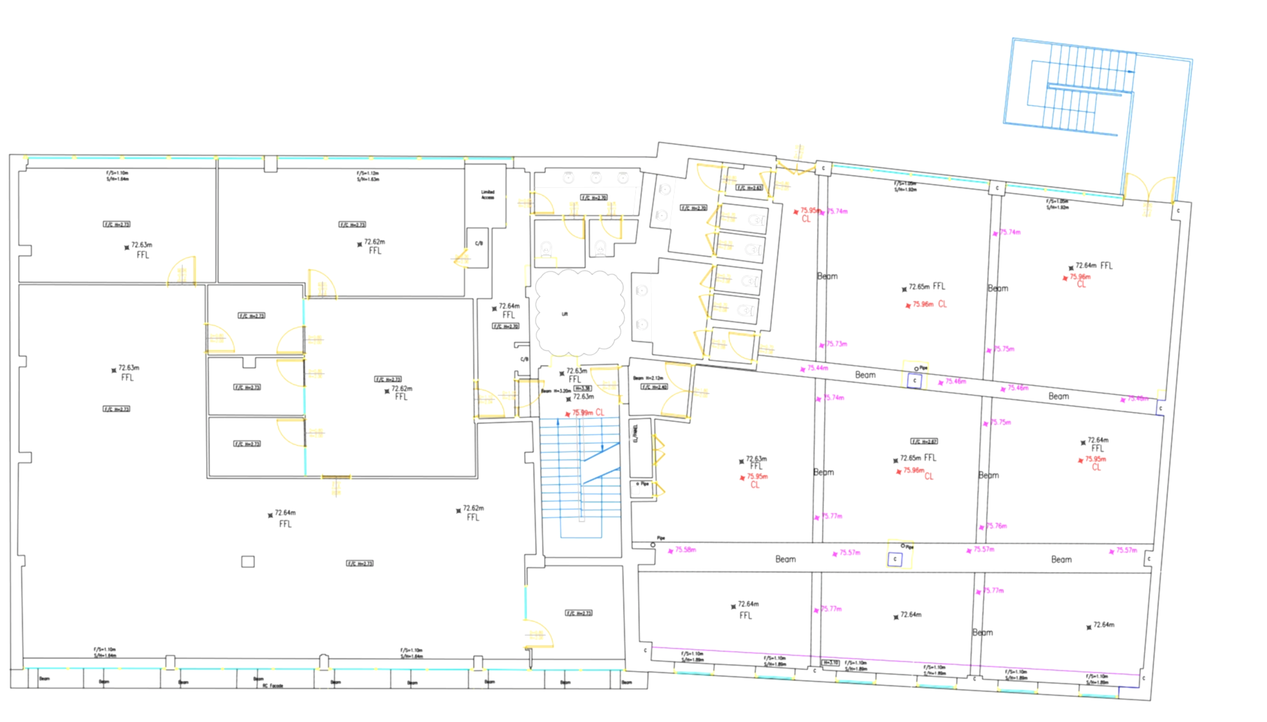
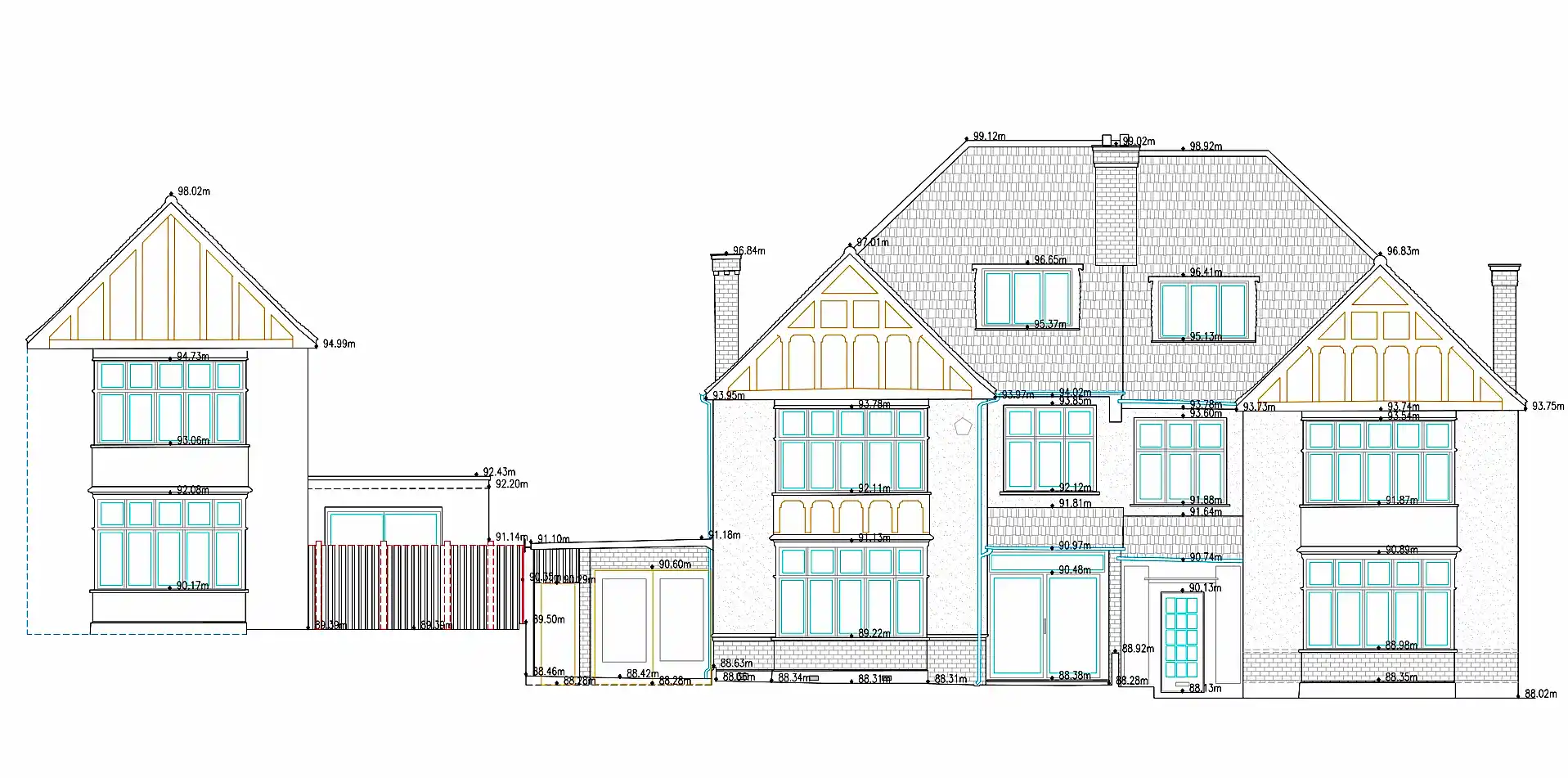
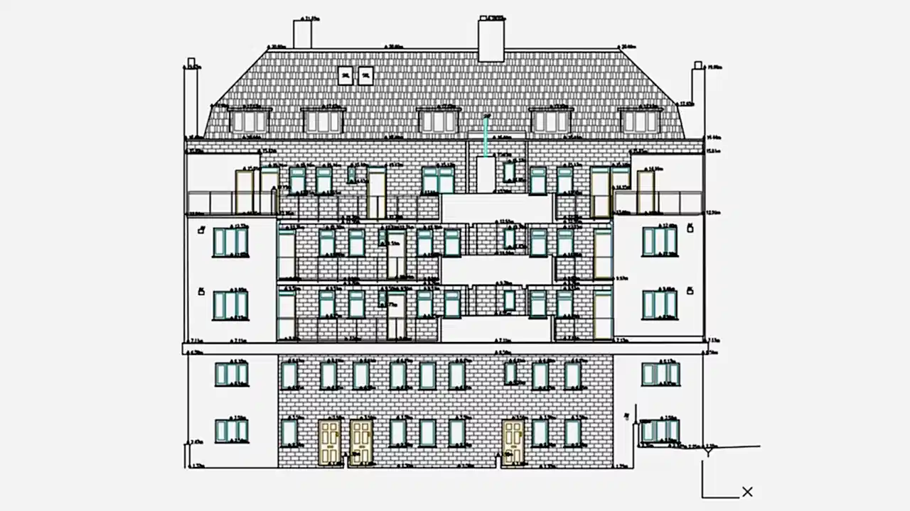
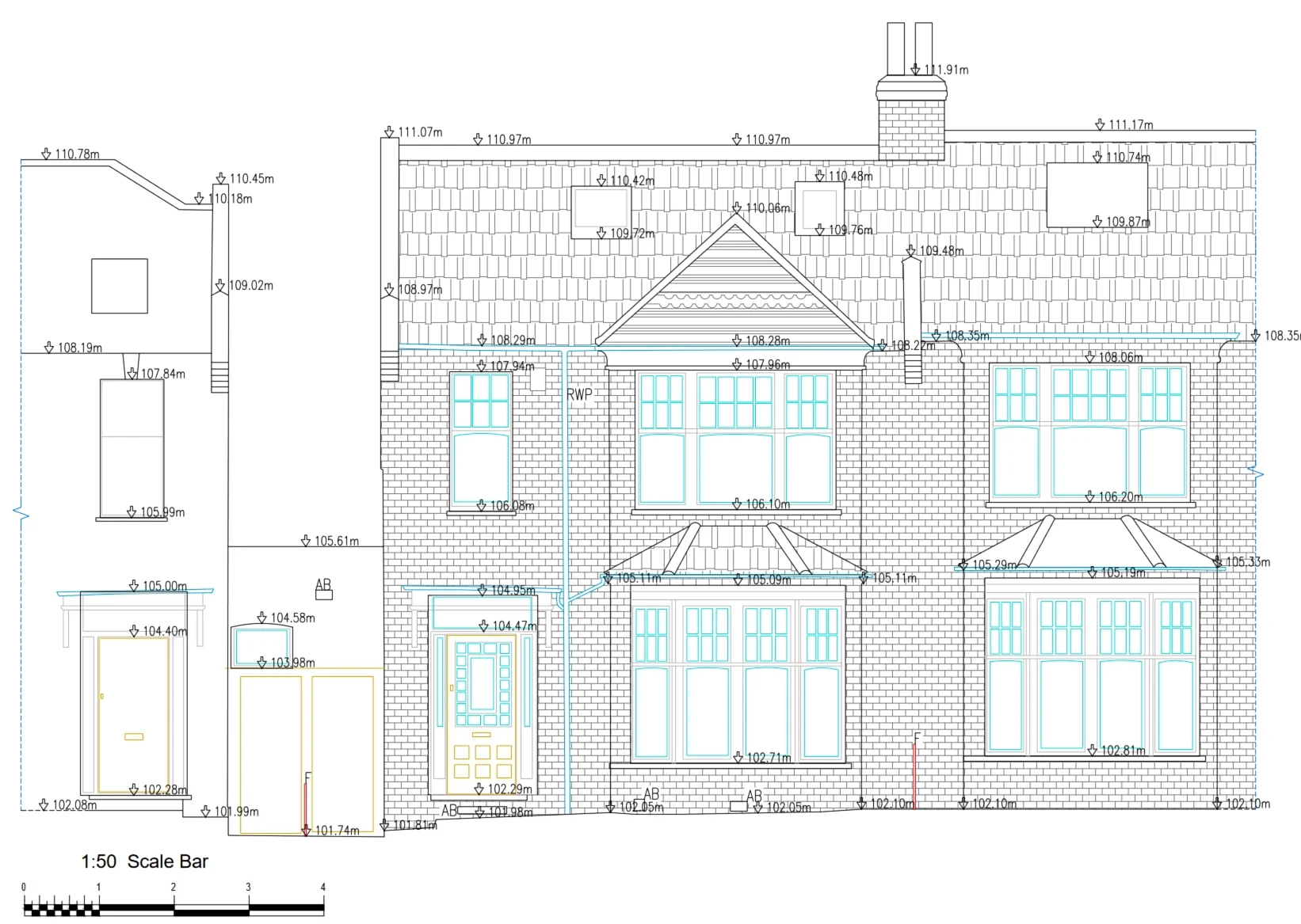
A few demostrations of Sections, Elevations and Floor plans
Contact
10 Teesdale Court
info@geo1.co.uk
+447838005008